 Loading... Please wait...


- Home
- Local Conditions
Farmington River Weather & Water Level
Water Levels for the Farmington River
The USGS Cubic Foot Per Second (CFS) water levels for the Farmington River are listed below. The West Branch Gauge at Riverton will give the water level for the first few miles of the river. Add the Still River Gauge to the West Branch Gauge to determine the water level through the year round Catch & Release area.
The third gauge listed is in Unionville, 20 miles south of the dam and should only be used as a reference for anglers fishing in Canton, Collinsville, Unionville, & points further downriver. Often the upper ten to twelve miles of the Farmington will be at an ideal height while the lower river is high due to water entering from tributaries such as the East Branch & Nepaug River, plus numerous smaller streams.
Ideal conditions are from 200 to 600 CFS for most of the upper river. 600 to 900 CFS is fishable but difficult wading. 900+ is for drift boats and advanced wading anglers who are familiar with the area.
Click for Detailed flow information on the Upper Farmington River powered by Cutty
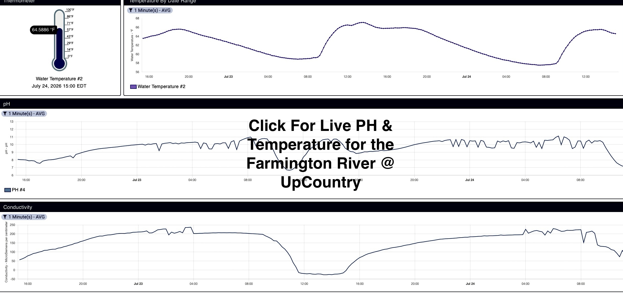
Farmington River PH & Temperature @ UpCountry
Farmington River Weather Forecast & Radar
- |860-379-1952|
- Info@farmingtonriver.com
- |
- Directions
- |
- Copyright© 2026 Upcountry Sportfishing|
- Site design by
 tyelus|